Road access only, no rail. Autumn light on the eastern valley floor makes the trails worth the drive from Paro.
The Valley Floor
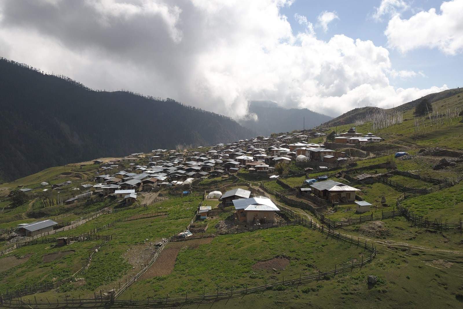
Pemagatshel sits at the base of a steep eastern slope where the valley narrows before opening into the broader agricultural plain. There is no passenger rail network in Bhutan; you arrive by road. The journey from Paro typically takes four to five hours depending on weather and road conditions, with the final stretch climbing out of the main valley floor and dropping into the lower settlement area.
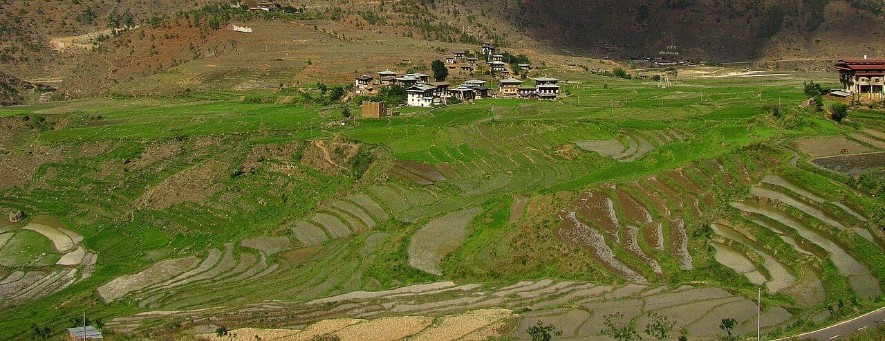
The town itself is compact. Most hiking starts begin within walking distance of the central cluster of buildings, which means you do not need to arrange a vehicle for day trips. You pack a bag, walk to the trailhead, and go. This simplicity matters. In a country where infrastructure is still catching up to population growth, the fact that you can leave your car parked and start walking immediately tells you something about how this place was built: around foot traffic, not car traffic.
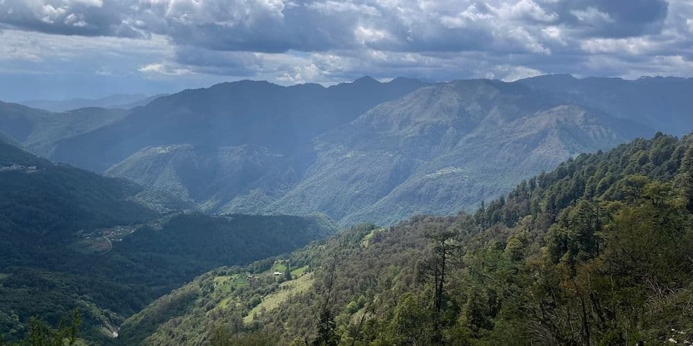
The elevation here sits roughly between 1,000 and 1,500 meters above sea level, giving you a wide band of vegetation change as you climb. Lower slopes carry dense subtropical forest. Higher ridges thin out into scrubland and exposed rock. The transition is visible from the town center if you look east. That gradient is what makes the local trails interesting — you are moving through three distinct landscapes rather than one.
What the Trails Actually Look Like
No single named trail dominates the local hiking scene in the way that, say, a famous ridge or a marked long-distance path would. The routes are informal, maintained by local communities rather than a national parks authority, and their condition shifts with the season. In autumn, after the monsoon rains have settled, the paths are firmer underfoot. Mud gives way to packed earth. Visibility improves as the cloud line rises.
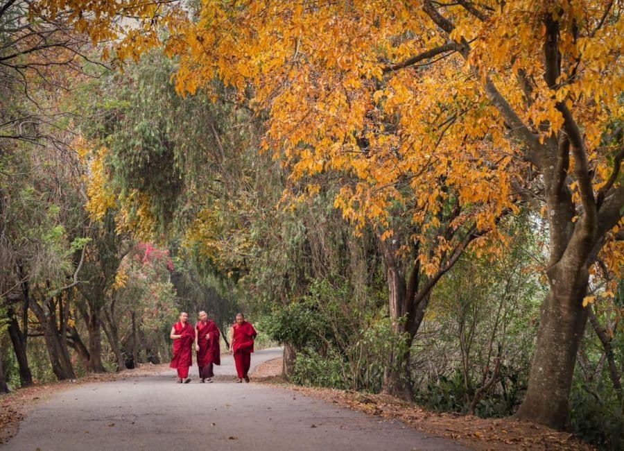
The most common starting points cluster around the eastern edge of the settlement, where residential plots give way to terraced fields and then to unmanaged forest. These paths lack Western-style signage. You ask. A shopkeeper, a farmer working the adjacent plot, a monk passing on the morning road — any of them will point you toward the path they use. Directions are practical: "past the second bend," "where the river widens," "up until you see the stone marker."
The terrain is consistent across most routes: steady ascent through mixed hardwood forest, occasional stream crossings (dry in late autumn, but check locally), and a gradual shift from closed canopy to open ridge. Distances vary. A half-day loop might cover eight to twelve kilometers. A full-day push to a higher vantage point could reach twenty kilometers round trip. Pace yourself. The air thins noticeably above 2,000 meters, and the afternoon wind off the ridgeline drops temperatures faster than you expect.
Practical Logistics
You enter Bhutan under the country's standard tourism framework, which governs access to the local trails around Pemagatshel. Independent travel is restricted; visitors typically enter through an organized tour or a structured itinerary arranged via a licensed operator. If you are coming specifically for the hiking, build that into your route planning rather than treating it as an add-on.
Accommodation in the town is limited. Guesthouses and small hotels serve the central area, with rates varying by season and room type. Budget options exist, but comfort levels are basic. Mid-range properties offer more consistent heating and cleaner facilities, which matters in autumn when evenings drop below ten degrees Celsius. Book ahead if you are traveling during peak foliage weeks, though demand is far lower than in western Bhutan.
Carry cash. ATMs are scarce outside the main towns, and mobile payment coverage is patchy in the eastern districts. Bring enough ngultrum or rupees for meals, transport, and any small purchases along the route. Water sources along the trails are generally clean running streams, but carry purification tablets as a precaution. Cell signal is unreliable above the valley floor. Tell someone your route and expected return time before you leave.
Food and Local Context
There is no single signature dish tied exclusively to Pemagatshel that appears in established culinary literature. The local food culture follows broader eastern Bhutanese patterns: rice-based meals, vegetable preparations cooked in clay pots, and meat dishes featuring pork or chicken. Ema datshi, the national dish of chilies and cheese, is available in most guesthouse kitchens, though the chili-to-cheese ratio varies by household.
Meals are simple and filling. Expect set menus rather than à la carte choices. Breakfast is often porridge or boiled eggs with tea. Lunch and dinner revolve around a shared plate of rice with two or three side dishes. The rhythm is slow. Meals take time, and the kitchen staff are not in a hurry. Sit down, eat, talk if you want. Do not rush.
If you are hiking in the early morning, buy supplies the night before. Baking soda, salt, dried fruit, nuts, and instant noodles are the staples hikers rely on. Fresh produce is available in the local market area near the town center, but selection is seasonal and modest. Do not plan elaborate field cooking. Keep it simple.
When to Go and Who It Is For
Autumn, specifically October through November, is the strongest window for hiking in this region. The monsoon has passed, the soil has firmed, and the forest canopy turns before the winter bareness sets in. Days are clear, nights are cold, and the quality of light in the late afternoon is sharp and directional. This is the period when the eastern slopes show their full color range.
Winter months bring snow to the higher ridges and make some upper routes impassable. Spring is green but wet, with mud and leeches in the lower forest. Summer offers lushness but also heavy rain, reduced visibility, and a higher risk of flash flooding on lower trail sections.
High-volume tourism does not define this destination. Crowds, ticketed viewpoints, and guided group departures are absent. It suits solo travelers comfortable with ambiguity, small groups who can share logistics, and anyone who prefers physical effort over curated experience. Stay three to four days minimum. One day is transit. Two days lets you settle. Three or four gives you room for a proper trail day without rushing back to the road.
Questions People Ask
Do I need a guide? For the local trails around Pemagatshel, no formal guide is required. However, knowing someone in the town who can confirm current trail conditions is valuable. Conditions change with weather, and a path that was passable last week may be washed out this week. Ask at your accommodation before setting out.
What is the entry requirement? Bhutan does not allow independent tourist entry in the traditional sense. Visitors must enter through a licensed tour operator or an approved structured itinerary. Your hiking plans should be integrated into that framework. Contact operators well in advance, especially for eastern Bhutan, which sees fewer visitors than the west.
Is the terrain technical? Most local routes are non-technical. Steep, yes. Exposed, occasionally. But there is no scrambling, no rope work, no alpine navigation. The challenge is distance, altitude gain, and weather. Proper footwear and layered clothing matter more than technical gear.