Navigate the mangroves and rice fields of Mahaicony Village, Guyana. A guide to hiking, birding, and river access 46 km from Georgetown.
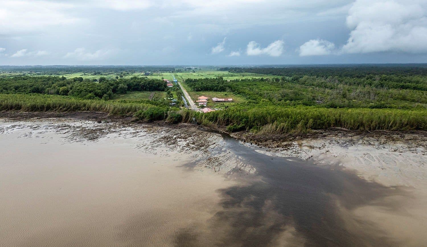
The Mahaicony River does not ask for permission. It drains the lowlands of Region Five and pushes into the Atlantic, its mouth shifting with the pull of the tides. For the hiker, the river serves as the primary variable. Located roughly 46 kilometers (29 miles) south-east of Georgetown, Mahaicony Village sits on the East Coast Demerara, a stretch of coastline defined by tidal flats, dense mangroves, and the rhythmic labor of rice farming. There is no grand peak here to conquer. The terrain is flat, wet, and indifferent. You do not climb; you traverse. The trail is a line drawn through a landscape that is constantly being rewritten by water.
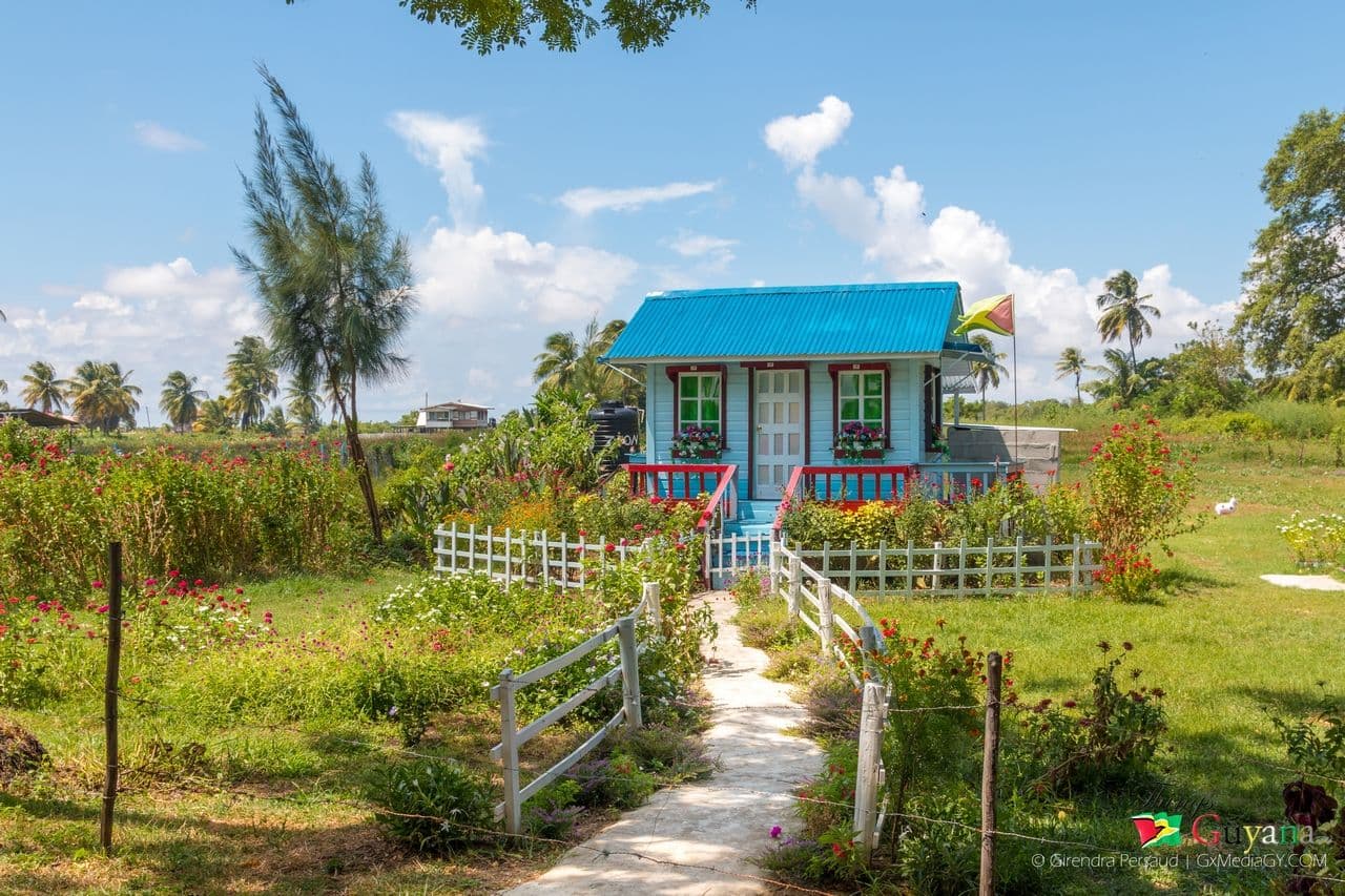
The Terrain: Mangroves and Rice
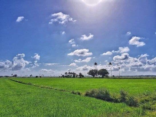
The "trails" in Mahaicony are rarely marked with blazes or stone cairns. They are paths worn by foot traffic, often following the edges of the rice paddies or threading through the mangrove roots. The sensory profile is immediate and heavy. The air smells of brine and wet earth. Underfoot, the ground is soft, sometimes muddy, requiring boots with grip rather than the light footwear preferred for alpine hiking.
The mangroves form a dense, tangled wall. Here, the silence is filled with the click of insects and the splash of wading birds. This is a convergence point for life that thrives in the intertidal zone. The rice fields, by contrast, are open and geometric. Walking between the rows offers a clear view of the agricultural engine that drives the local economy. The water in these paddies reflects the sky, creating a mirror effect that can be disorienting if you are not focused on the path.
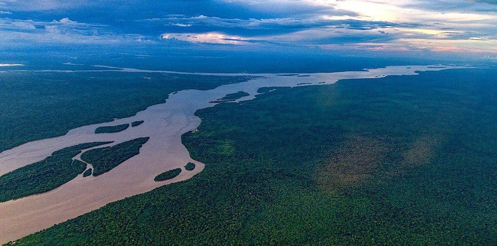
The River: A Moving Boundary
The Mahaicony River is the central feature of the landscape. It is a small coastal waterway, but its influence is disproportionate. It supports a fishing community and provides access for boats. For the hiker, the riverbank is the most dynamic part of the route. The water level changes with the tide, which can reach approximately 2.2 meters at high. This means the accessible path along the river shifts. What is dry land at low tide may be submerged at high.
You must plan your walk around the tidal chart. Ignoring the tide is a gamble with your socks and your safety. The river is also a place of activity. You will see fishing boats moving in and out, their engines cutting through the quiet. The water is a flow. To hike alongside it is to accept that the boundary between land and water is temporary.
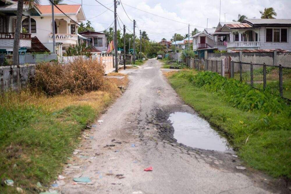
Practical Access and Logistics
Getting to Mahaicony requires a commitment to the journey. There is no rail line. You travel by road or boat. The primary route is the East Coast road, which connects Georgetown to Berbice. The distance is about 46 kilometers. From Georgetown, you can hire a taxi or car. Journey times vary with traffic and road conditions, but expect a significant portion of the day to be spent in transit.
Fares depend on negotiation and the mode of transport. A taxi will be more expensive than a shared vehicle. The road is paved, but the final approach to the village may involve rougher surfaces. Boats are another option, particularly if you are coming from other coastal points, but the road is the most reliable for day trips from the capital.
When to Go: The Dry Window
Guyana’s climate is dictated by the rainy and dry seasons. For hiking and birding, the dry seasons are preferable. These occur from February to April and from September to November. During these months, the weather is more predictable, and the trails are less likely to be flooded. The air is drier, and the light is clearer.
The current season is autumn, which falls within the September–November window. This is a good time to visit. The rains have eased, and the landscape is green but not waterlogged. There are no major public holidays recorded for the next six months that would disrupt travel, making logistics simpler. You can book transport without worrying about peak holiday crowds.
Local Context and Food
The village is a working community, not a resort. The economy is tied to rice and fish. You will see the produce of these industries everywhere. Rice is the staple, and the paddies are the backdrop to daily life. Fishing is another pillar, with the river providing a steady source of seafood.
There is no single signature dish that defines the village, but the food is simple and fresh. Expect rice and provisions, often cooked with local vegetables and fish. The flavor is unpretentious, focused on sustenance and taste. When you eat, you are consuming the output of the land you just walked through. The connection is direct.
FAQ
How long is the hike? There is no single fixed trail. A walk through the mangroves and rice fields can take two to four hours, depending on your pace and how far you go along the river.
Do I need a guide? A guide is not strictly necessary, but local knowledge is helpful for reading the tides and identifying birds. Many visitors hire local guides for fishing or birding trips.
What should I bring? Sturdy boots, insect repellent, and water. The sun can be intense in the open rice fields, and the mangroves are home to mosquitoes.