Hike to Taiwan's highest peak or paddle Sun Moon Lake. Nantou’s landlocked terrain demands respect, offering high-altitude trails and quiet water sports away from the coast.
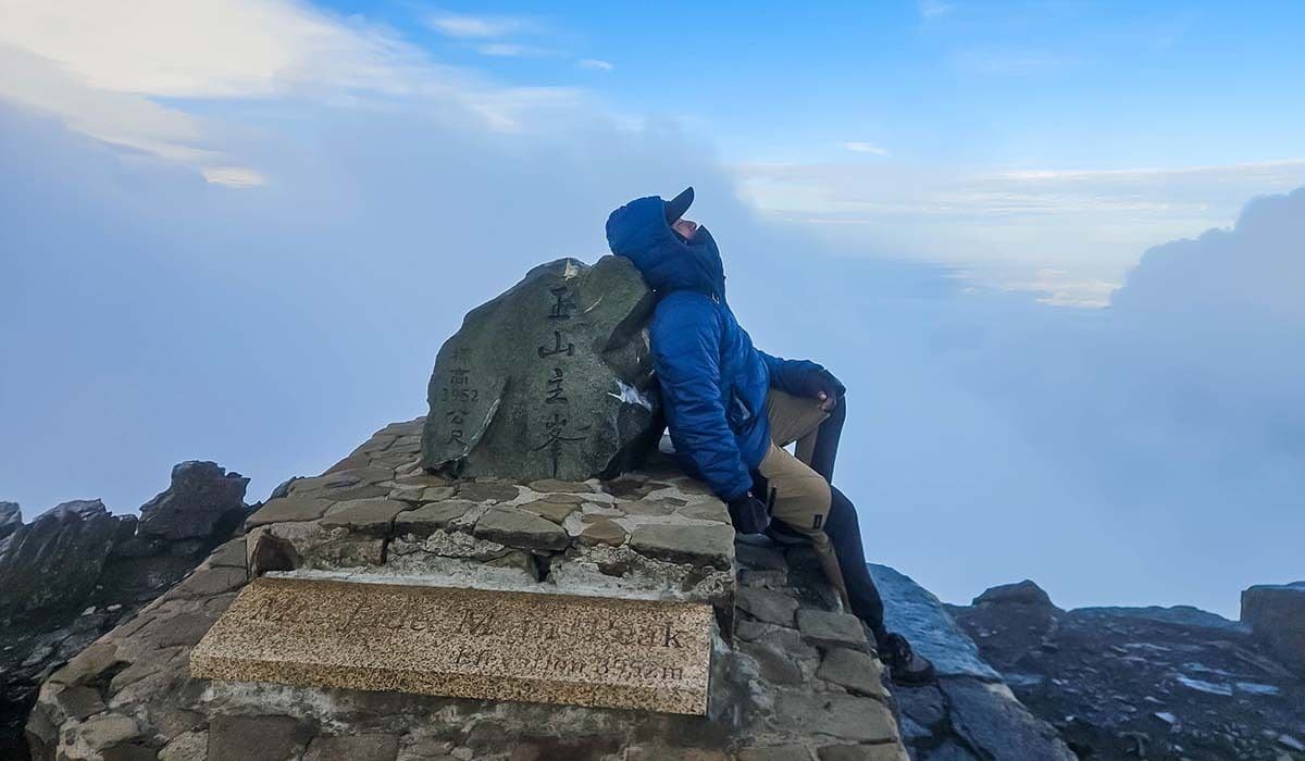
The wind at 3,952 meters does not ask for permission. It simply exists, a constant variable in the equation of survival on Yu Shan, Taiwan’s highest mountain. Located in the eastern part of Nantou County within the Central Mountain Range, the peak serves as a test of endurance. Nantou is the only landlocked county in Taiwan, a geographic fact that defines its character. Without the softening influence of the sea, the air here is drier, colder, and more honest. The mountains do not yield. They wait for you to arrive at their altitude, or they send you back.
The Vertical Dimension
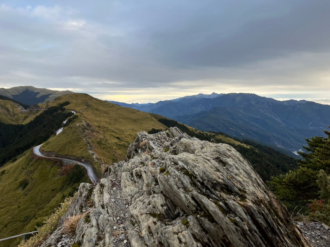
For the serious trekker, Yu Shan is the definitive challenge. The trailhead is accessible, but the ascent is a negotiation with gravity. The Central Mountain Range rises abruptly from the plains, creating a verticality that compresses weather systems and temperature gradients. Hikers must prepare for rapid shifts; a clear morning can dissolve into fog by noon. The path is well-trodden, but the exposure is real. The climb requires a commitment. The reward is not just the view, but the knowledge that you have climbed to the roof of the island.
Water as a Mirror
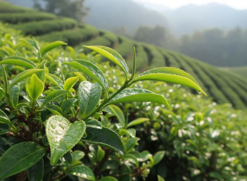
If the mountains offer vertical intensity, Sun Moon Lake offers horizontal stillness. The lake is a major scenic area in Nantou, but for the adventurer, it is a vessel. The water is calm, often to the point of being deceptive. Paddling a canoe or renting a small boat allows you to move slowly across a surface that reflects the surrounding peaks with uncanny precision. The silence is profound. There is no engine noise, only the lap of water against wood and the distant sound of birds. The lake is also associated with local large-leaf black tea production, a detail that grounds the scenic beauty in agricultural reality. The tea farms line the shores, their green rows a contrast to the blue water.
The Landlocked Reality
Nantou’s isolation is its advantage. As the only landlocked county, most intra-county traffic is by road. The terrain forces you to slow down. There are no shortcuts. To reach the trailheads or the lake, you must drive or bus through winding roads that hug the contours of the land. This geography creates a sense of separation from the rest of Taiwan. You are entering a different rhythm. The roads are a test of patience, but they also offer unexpected views of valleys and ridges that remain hidden from the coastal highways.
Practical Access
Getting to Nantou requires a transfer. The nearest major rail hub is Taichung HSR (high-speed rail) station. From there, the journey to Nantou is by bus or car. The cheapest option is around $3 USD, and the quickest takes approximately 29 minutes if you catch a direct shuttle. General bus services to Taichung take 1 to 2 hours, with fares ranging from TWD 358 to TWD 449. This transfer acts as a threshold. It separates the fast-paced world of the high-speed rail from the slower, mountainous logic of Nantou. Plan your timing carefully. The roads are scenic, but they are not fast.
Fuel for the Climb
After a day on the trails or the water, the body demands fuel. Nantou’s local food is hearty and rooted in the highland climate. In Lugu, a town in the Dongding area, rolled oolong tea is a specialty. The Dongding oolong is known for its floral aroma and complex taste. In Puli, water bamboo is a local delicacy, a vegetable that grows in the wet, mountainous soil. For a quick energy boost, seek out the sandwich ice bricks (san ming zhi bing zhuan), a local snack that is cold, sweet, and satisfying. Millet omelets (xiao mi dan bing) offer a warm, savory option, while deep-fried meat pies (rou zi die) provide a crispy, filling bite. These foods represent the sustenance of the local people, designed to withstand the cold and the effort.
When to Go
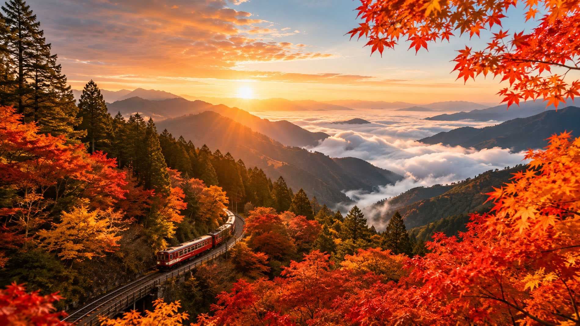
The autumn season is ideal for Nantou. The air is crisp, and the humidity drops, making the trails more comfortable. However, the calendar is approaching a period of high demand. The Mid-Autumn Festival is on September 25, 2026, just two weeks away. Expect higher prices and more crowded trails and lakes during this period. If you can, travel before the festival or after the National Day holidays in early October. The winter months bring snow to the higher peaks, adding a layer of difficulty to the Yu Shan climb. Spring is beautiful but wet. Autumn offers the best balance of clarity and temperature.
Who It Is For
This is a place for those who respect the elements. It is for the hiker, the paddler, the observer. Solo travelers will find a sense of solitude here, but groups will benefit from the safety and shared effort of the climbs. Families with older children can manage the lake activities and the lower trails, but the high peaks are for the fit and the determined. Allow at least three to four days to truly experience the range. One day is not enough to understand the scale of the mountains or the depth of the silence.
FAQ
Is Nantou accessible by direct high-speed rail? No. You must travel to Taichung HSR station first, then transfer to a bus or car for the final leg to Nantou. The transfer takes about 30 minutes to 2 hours depending on the service.
What is the best time to hike Yu Shan? Autumn and spring are the best seasons. The weather is more stable, and the trails are less slippery. Winter is possible but requires experience with snow and cold.
Do I need to book accommodation in advance? Yes, especially during the Mid-Autumn Festival and National Day holidays. The lake area and trailhead towns fill up quickly. Book early to secure a spot.