Pack for rain, book early, and expect mud. Mahdia is the gateway to the Kanuku foothills, not a resort town.
The ground beneath your boots in Mahdia, Administrative Region 8, is soft, dark, and perpetually damp. At 415 meters above sea level, the town sits in the geographic center of Guyana, acting as the logistical anchor for the Potaro-Siparuni region. There is no paved highway leading here. There is no five-star lobby with climate control. If you are expecting a curated glamping experience with linen sheets and a concierge, you have misread the map. Mahdia is a mining town. Its economy runs on gold and diamond extraction. The "glamping" available here is a misnomer for basic eco-lodging or tented camps situated in the rugged terrain of the Kanuku Mountains. It is functional. It is remote. It requires respect for the infrastructure—or lack thereof—that defines life in the interior.
Where to Stay
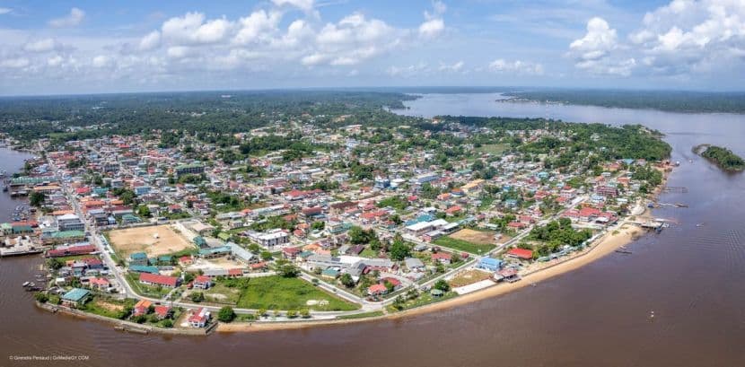
Accommodation in Mahdia itself is limited to guesthouses and basic lodgings catering to mining personnel and short-term visitors. For the camping and glamping experience, you must look beyond the town center toward the foothills.
Moco Moco Village Area: This indigenous community is listed as a primary attraction in the vicinity. Staying here means engaging with the local community directly. It is a community setting, not a commercial resort. Expect simple structures, communal meals, and a schedule dictated by village life. Prices are informal and vary based on negotiation and group size. The differentiator is authenticity. You are sleeping in the landscape, not on top of it.
Rupununi River Camps: Several operators run tours that include overnight stops near the Moco Moco Waterfalls and the Kumu Falls. These are typically tent-based or simple wooden huts. The comfort level is baseline. You will sleep on a mat or a thin mattress. The air is cool at night due to the elevation and humidity. Book through established tour operators, as independent access to these sites is difficult without local guides.
Mahdia Town Guesthouses: For those who prefer a roof over their head before or after the trek, small guesthouses operate in the town center. Rooms are sparse, often with shared facilities. Rates are low compared to coastal Guyana. The advantage is proximity to the main road for resupply and emergency evacuation.
The Terrain
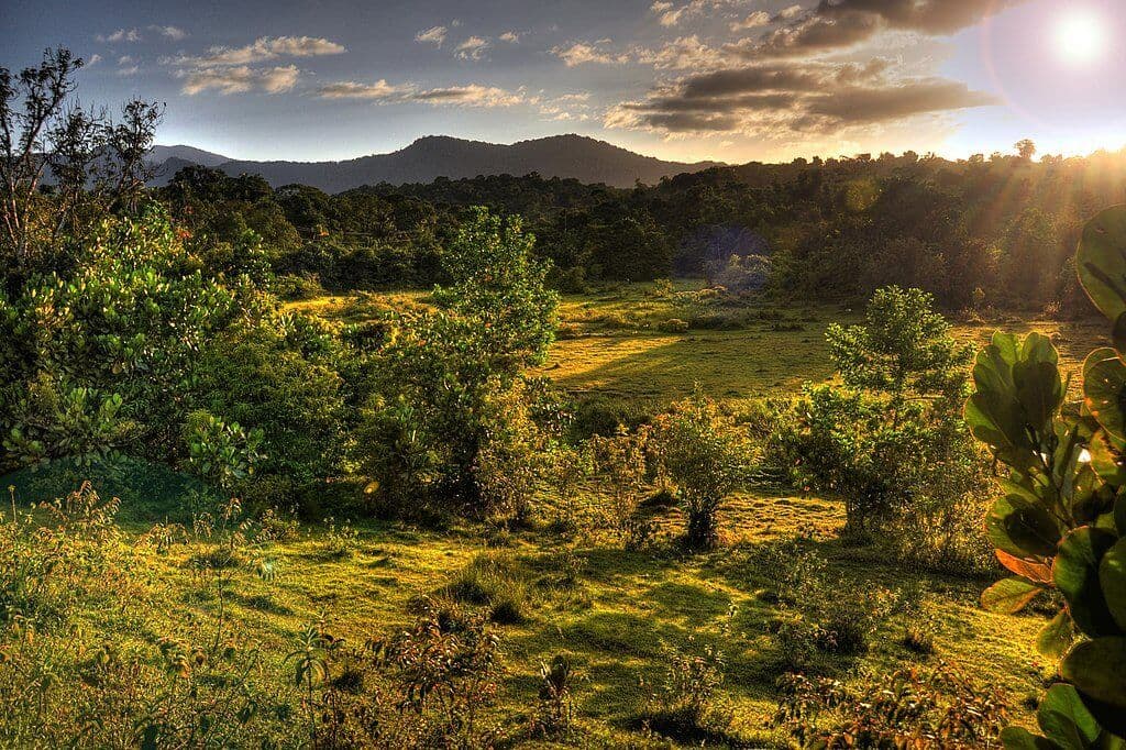
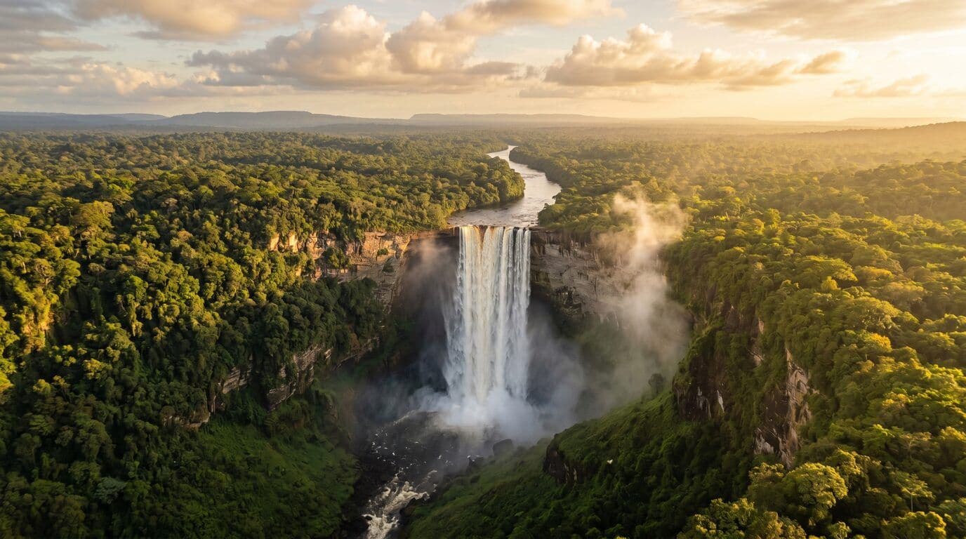
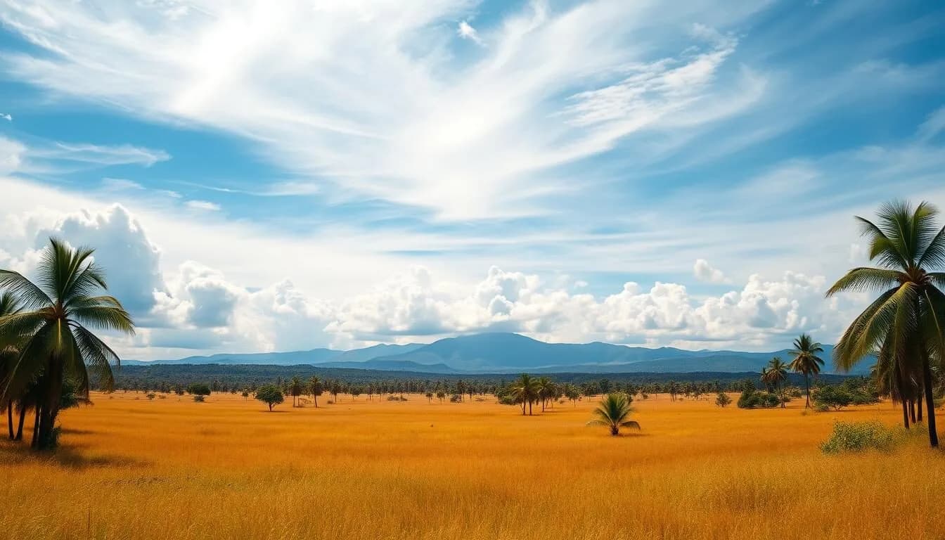
The landscape around Mahdia is defined by the Pakaraima and Kanuku mountain ranges. The terrain is not gentle. Trails to the waterfalls involve steep, muddy gradients. The Moco Moco Waterfalls are the centerpiece of most itineraries. The water is cold, clear, and drops from significant heights. The surrounding forest is dense, humid, and alive with insect activity. You will need sturdy footwear. Sandals will fail you on the slick rock faces. The light here is diffused by the canopy, creating a green, dappled atmosphere that changes rapidly with weather patterns.
The gold and diamond mining operations visible from certain vantage points are a constant reminder of why this region exists. The landscape bears the scars of extraction alongside the untouched beauty of the rainforest. This duality is central to the Mahdia experience. It is a working landscape, not a pristine wilderness.
Practical Logistics
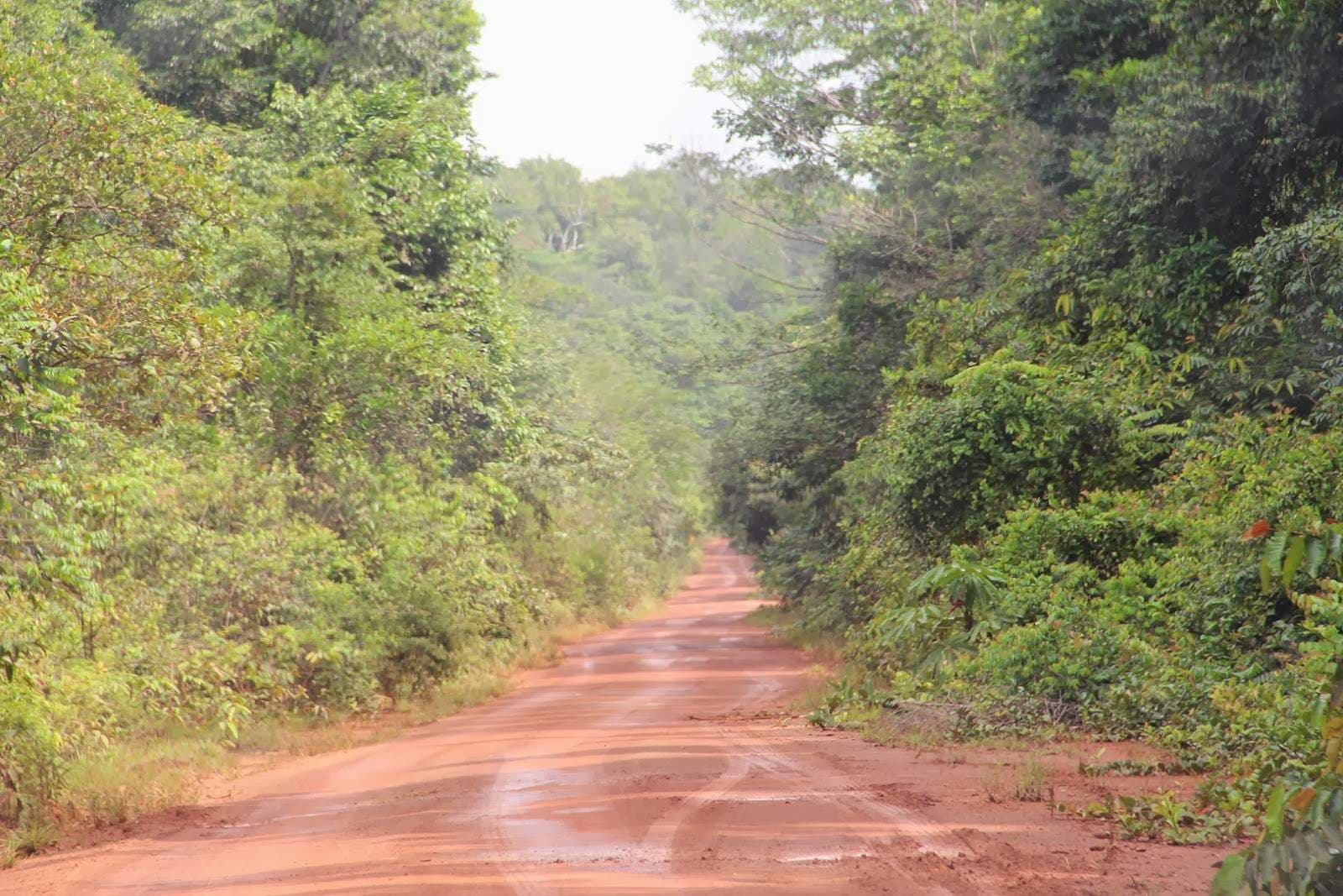
Transportation to Mahdia is challenging. There is no confirmed commercial airport serving the town directly in current reliable data. Visitors typically fly to Georgetown or Lethem and then undertake a lengthy overland journey via rough track roads. The drive from Lethem to Mahdia can take several hours, depending on vehicle condition and weather. Rain can turn unpaved roads into impassable mud. Do not underestimate the time required for transit.
Currency in the interior is scarce. Cash is king. Bring small denominations of Guyanese dollars for local purchases. Credit cards are useless outside of major urban centers. Medical facilities in Mahdia are basic. Serious injuries or illnesses require evacuation to Georgetown or Lethem. Carry a comprehensive first-aid kit and any personal medications.
Local Context
The people of Mahdia are largely Pemon and Macushi indigenous communities. Respect for local customs is non-negotiable. Photography of individuals requires explicit permission. Alcohol consumption in villages is sensitive; observe local norms closely. Food is simple, often consisting of rice, beans, fish, and tropical fruits. Meals are communal. Do not rush. The pace of life here is slow, dictated by the sun and the seasons.
Language is primarily English, with Pemon spoken locally. Basic English is sufficient for communication. However, cultural fluency is more important than linguistic precision. Show respect, ask questions, and listen.
When to Go
There is no single "best" time. The dry season (December to May) offers easier trail conditions and clearer skies. The wet season (June to November) brings heavy rains, which can wash out trails and make roads impassable. However, the wet season also brings lower visitor numbers and a lush, vibrant landscape.
Verify the current seasonal conditions before booking. Availability is limited, and operators frequently adjust schedules due to weather. Expect to pack waterproof gear regardless of the month, as interior weather patterns are volatile.
Who is this for? This destination suits experienced hikers, photographers, and those interested in indigenous culture and rugged natural environments. It is unsuitable for families with young children or travelers seeking luxury. Allow at least five days for a meaningful visit. Three days is barely enough to reach the waterfalls and return.
FAQ
Is Mahdia safe? Yes, generally. Violent crime is rare. The primary risks are environmental: slippery trails, flash floods, and insects. Use insect repellent and carry a torch.
Do I need a visa? Check current entry requirements for Guyana. Most visitors can enter with a valid passport. Some nationalities require a visa. Verify with the nearest Guyanese embassy before traveling.
Can I hike independently? No. The terrain is remote and poorly marked. Hire a local guide. They know the trails, the weather patterns, and the local protocols. Independent hiking is dangerous and disrespectful to the community.